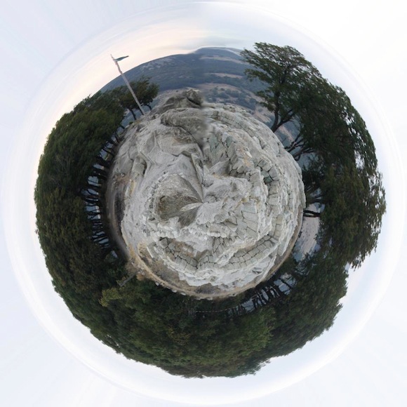
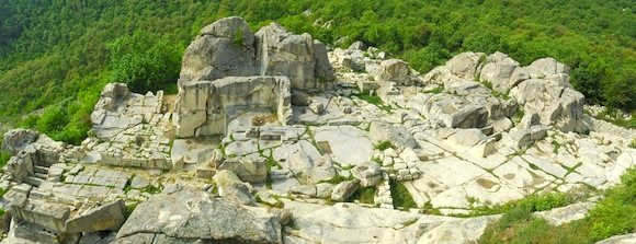
Today’s image of the ancient city of Perperikon comes from EarthSky Facebook friend Zlatan Merakov. We asked Zlatan how he constructed this image. He said:
In fact, it is very easy to do. All you need is a picture of a landscape with a relatively straight skyline. It is important to make sure if the horizon at the left and right edges is at the same level. Then you must resize the image so that the width becomes equal to the height, rotate it at 180 degrees and apply transformation from rectangular to polar coordinates. All this can be easily done using Photoshop or any other image processing software.
Thank you, Zlatan, for sharing this exceptional image!

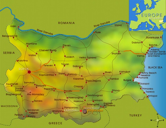
The ruins of this ancient city are located in southern Bulgara, atop the Eastern Rhodopes. Human activity at the site dates back to 5,000 B.C. and it is believed to be the sanctuary dedicated to Dionysus, the god of winemaking and wine.

Because of its size and location, it is sometimes referred to as the European Machu Picchu.

Thanks again for the wonderful image, Zlatan!
If others of you out there would like to see your images appear on EarthSky.org, please submit them to images@earthsky.org or stop by EarthSky on Facebook and post your images on our wall. We love to see the world through your lens!


