


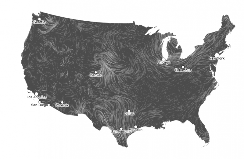
This moving wind map is both interesting and beautiful. It updates every hour and lets you see the movement, flow, and speeds of wind across the United States.
The image above is a still image from the wind map. The real one moves in a way reminiscent of actual wind.
In this interactive map, you can visualize the strength of the surface winds, where they are coming from, and the direction they are moving. Another interesting feature about this page is that you can zoom into various regions and locate cities. Hourly updates come from data about surface winds from the National Digital Forecast Database.
By looking at the map, you can locate areas of low pressure (air that flows counter-clockwise in the Northern Hemisphere), high pressure (areas that experience calm/light wind speeds), and you can easily see areas of convergence. Convergence pretty much shows the winds coming together at a certain point. Typically, we will see this with a cold front or a dry line.
Go ahead, try it out! It’s really neat! Visit the wind map.
Enjoying EarthSky? Sign up for our free daily newsletter today!
Bottom line: A website allows you to visualize surface winds in current time at the top of each hour.
Like what you read?
Subscribe and receive daily news delivered to your inbox.
More from
Matt Daniel


