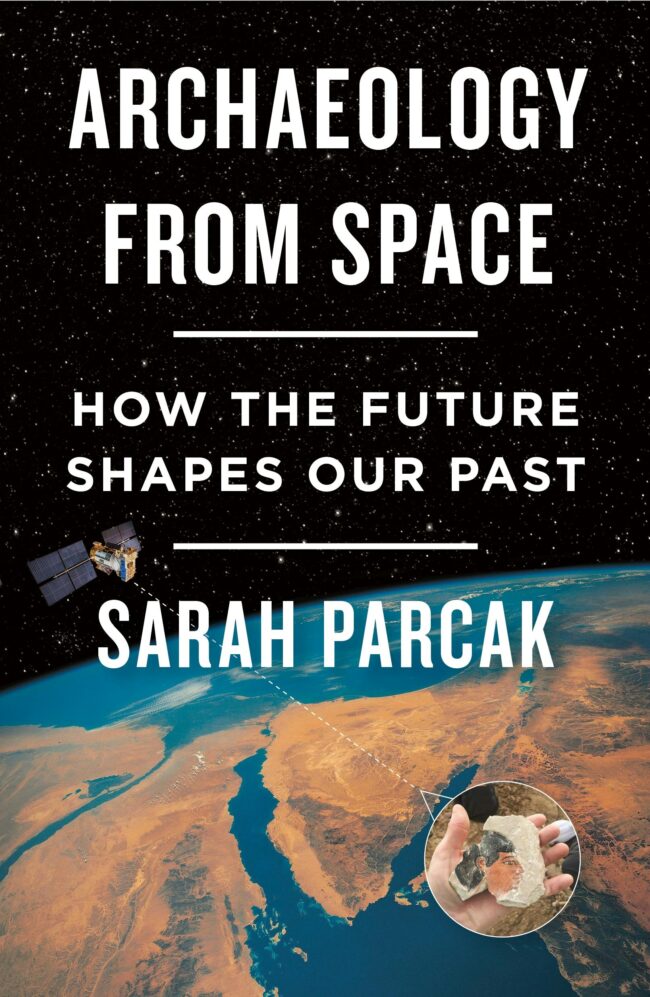
Kelly Kizer Whitt recommends Archaeology from Space: How the Future Shapes Our Past, a book by TED-Prize winner Sarah Parcak.
Archaeology from Space
Sarah Parcak is a modern-day Indiana Jones. Only her searches for antiquities in Egypt start in space. Sarah is an archaeologist and Egyptologist at the University of Alabama. She explains how using different wavelengths of light from satellite imagery to peer at Earth reveals otherwise hidden structures. For example, in infrared light, we’re able to see chemical signatures on the landscape due to the building materials used in ancient civilizations. Sarah says:
I analyze different satellite data sets – Google Earth is one you’re probably familiar with – to find and map otherwise hidden archaeological sites and features.
And while Egyptology is her specialty, Sarah takes you on a grand tour of archaeological sites across Earth, to show where discoveries from space are being made. Sarah explains what exactly they can see in the satellite imagery:
We can see neither potsherds nor individual occupation levels on satellite imagery. But we can see walls, entire buildings, geoglyphs like the Nazca lines, vanished landscapes and relationships between site and site, and between site and landscape, in ways we could not 40 years ago, in places we would never have thought to check.
Sarah shares her discoveries with excitement, mom humor and imagination. She even spends a chapter telling the possible story of what a woman’s life would have been like during turmoil in ancient Egypt.

Discoveries around the world
If you’re a fan of the Indiana Jones movies, then you might already know that his quest to find the Ark of the Covenant focused on the Egyptian city of Tanis. This lost city was supposedly buried in a year-long sandstorm. In reality, Tanis was an Egyptian city that, today, looked like an unremarkable stretch of desert in regular satellite imagery. But by merging different types of satellite imagery and using a technique called pansharpening, the hidden city came into view. Sarah says:
An entire ancient city leapt off the screen. Ambiguous, faint streaks that had appeared in the multispectral image now emerged as clear buildings, streets, suburbs … everything.
Space archaeology has also helped identify many more Mayan ruins in Central America. It’s also helped explain how the heads on Easter Island were “walked” into their final positions. And Sarah believes there are many, many more discoveries from space to make:
I believe there are more than 50 million unknown archaeological sites, from major settlements to small campsites, left to discover globally, above and below water. And that’s on the conservative end of my calculations.
We’ve been recognizably human for around 13,800 generations, and 108 billion people may have lived in the last 50,000 years. That’s a lot of human activity to trace.
They’ve also been able to track looting of ancient archaeological site from space. Archaeologists have been able to see how looting got exponentially worse after the 2009 global recession. And it picked up again after the 2011 Arab Spring. Sarah says:
Looters, we are watching you.
Bottom line: Archaeology from Space by Sarah Parcak explains how satellite imagery can reveal hidden antiquities from the Egyptians, Mayans, Vikings and more.


