


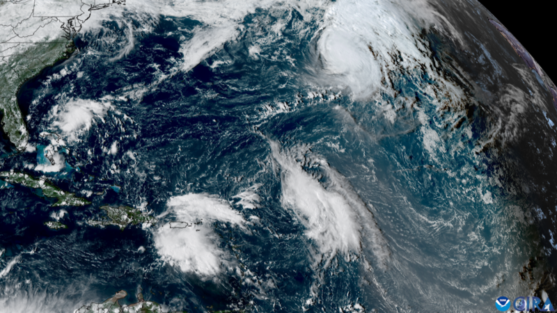
Storms “crowding” in the Atlantic
In what was a slow Atlantic hurricane season prior to this, Humberto – which formed mid-week last week evening – became this season’s 3rd hurricane. NASA Earth Observatory said on September 30:
Dangerous surf conditions affected beaches in the northern Caribbean, the Bahamas, and Bermuda, as well as much of the U.S. East Coast. Mid-Atlantic and even some northeast states could see large swells and rip currents stemming from the storm, forecasters warned.
And AP reported on the morning of October 1:
The outer bands of distant Hurricane Humberto lashed Bermuda on Tuesday ahead of a more direct pass from the newer and stronger Hurricane Imelda on the tiny British territory.
Humberto was passing well north of the island in the North Atlantic, but wind gusts and some rain were forecast into Wednesday.
Imelda had maximum sustained winds of 140 kph (87 mph) late Tuesday and its center was expected to be near the island Wednesday evening, the U.S. National Hurricane Center in Miami said.
A hurricane warning for Bermuda was in effect ahead of Imelda, which was expected to strengthen into a Category 2 hurricane, according to the Bermuda Weather Service.
Humberto and Imelda and the Fujiwhara effect
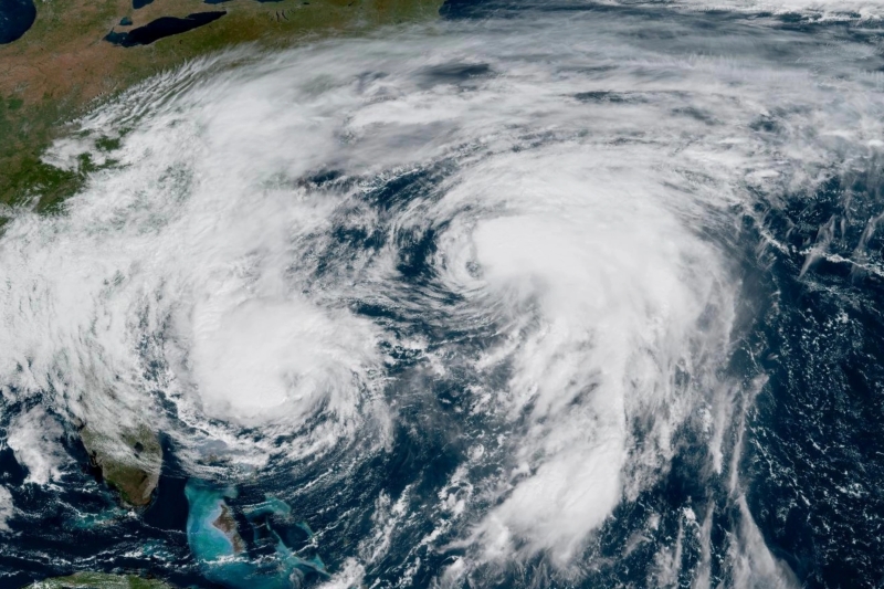
Humberto and Imelda have looked as if they might dance around each other in a semi-chaotic interaction called the Fujiwhara effect.
The Fujiwhara effect is when two tropical cyclones (tropical storms or hurricanes) spinning in the same direction come close to each other. When this happens, they can “dance” around a center point as their circulations interact, impacting each other in the process. If one cyclone is stronger than the other, the stronger one can absorb the weaker cyclone.
At this point (October 1), satellite imagery shows Humberto and Imelda “crowding” the Atlantic basin and being relatively near each other. Humberto appears to be exerting a “pull” on Imelda, which is causing Imelda’s path to turn more eastward — a behavior consistent with a Fujiwhara-style tug.
Some media reports claim they are “interacting through the Fujiwhara effect” and that Humberto is “steering Imelda away from U.S. landfall.” But most forecasters are emphasizing that the two hurricanes are not close enough for full mutual orbiting or merging: the interaction is more one-sided, with Humberto being dominant.
Bottom line: As of October 1, Humberto and Imelda are “crowding” the Atlantic basin. They are relatively near each other. Humberto appears to be exerting a “pull” on Imelda. Is it the Fujiwhara effect?
Like what you read?
Subscribe and receive daily news delivered to your inbox.
More from
Rachel Duensing


