


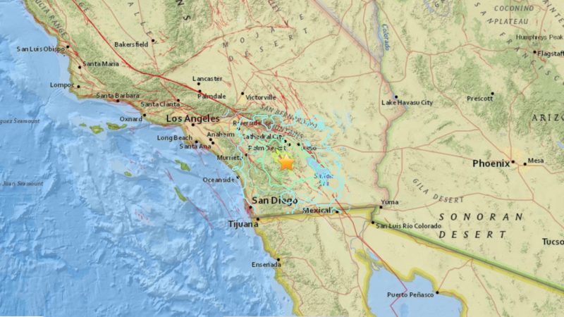
The U.S. Geological Survey is reporting a 5.2-magnitude earthquake – a moderate but noteworthy earthquake – near the San Jacinto fault in southern California. The quake was centered in Anza-Borrego Desert State Park. A local news outlet, the Desert Sun reported that the quake shook southern California residents awake early Friday at 1:04 a.m.
USGS gives the following information about the quake:
Time
2016-06-10 08:04:38 (UTC)
Nearby Places
22.0 km (13.7 mi) NNW of Borrego Springs, CA
24.0 km (14.9 mi) ESE of Anza, CA
25.0 km (15.5 mi) NE of Warner Springs, CA
43.0 km (26.7 mi) S of Palm Springs, CA
68.0 km (42.3 mi) ENE of Escondido, CA
98.0 km (60.9 mi) NE of San Diego, CA
109.0 km (67.7 mi) SE of San Bernardino, CA
Initial incomplete data had suggested two quakes of roughly the same size shook within a minute, but USGS deleted one of them shortly afterward.
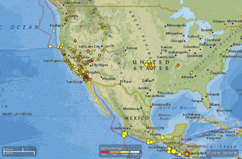
California is an earthquake-prone region because it is located along what geologists call the Ring of Fire surrounding the Pacific Ocean. Read more: What is the Ring of Fire?
Dr. Lucy Jones – a geologist in southern California – has posted many tweets about the June 10 earthquake this morning:
EQ at ~1:05 this morning is a mag 5 near the San Jacinto fault
— Dr. Lucy Jones (@DrLucyJones) June 10, 2016
Another M3 aftershock.
M5.2 @ 1:04 am
M3.5 @ 1:06
M3.0 @ 1:07
M3.5 at 1:33
+ dozens of tiny ones— Dr. Lucy Jones (@DrLucyJones) June 10, 2016
We have never seen a San Andreas EQ triggered by a San Jacinto EQ. The 2 faults are ~25 miles apart
— Dr. Lucy Jones (@DrLucyJones) June 10, 2016
Bottom line: No immediate reports of damage or injuries from a 5.2-magnitude earthquake in southern California early in the morning on June 10, 2016.
Like what you read?
Subscribe and receive daily news delivered to your inbox.
More from
Deborah Byrd


