


A strong El Niño formed over the summer, and has immediately had an impact on tropical weather.
The Atlantic Ocean has had a below-average hurricane season. In fact, this is the first season in the modern, satellite era to have not recorded a hurricane at this point of the June 1st through November 30th season. Meanwhile, in the Pacific Ocean, the hurricane season has been more active than average with 18 named storms, including nine hurricanes. A typical full hurricane season in the eastern Pacific Ocean normally brings 15 named storms and eight hurricanes.
But El Niño isn’t set to only affect tropical storms. Forecasters are warning that El Niño could now help trigger coastal flooding along the western coast of North America. How? Through the formation of Kelvin waves.
What is a Kelvin wave?
A Kelvin wave is not a wave that crashes along the coast. Instead, it’s a planetary wave that moves from west to east along the equator in a trip that can take up to three months.
While higher than the surface of the water, it doesn’t have a crest like a typical wave. It’s more like a large ripple. Once it arrives in Central and South America, the Kelvin wave continues its journey up the western coast of the Americas. There, it can bring higher water temperatures and water levels, sometimes for months on end.
Kelvin waves were reported to have impacted parts of California back in the spring, but will be more impactful through the fall and winter.
Kelvin waves and El Niño
So, what’s the relationship between El Niño and these Kelvin waves?
El Niño is the warm phase of the global climate pattern called El Niño Southern Oscillation, or ENSO. ENSO has two main phases: El Niño and La Niña, but also a third neutral phase.
El Niño is considered the “warm phase” because that is when the waters of the tropical Pacific Ocean are warmer than average. One reason for the warmer than normal water is due to weaker easterly trade winds, or winds that flow east to west. Weaker trade winds mean the deeper, cold ocean water doesn’t as easily reach the water’s surface, keeping the water warmer.
But the weaker surface winds can also allow the surface layer of the water to propagate back eastward, creating a Kelvin wave. Because this surface layer of the ocean water is warmer than average, it can continue to warm the ocean water. And that includes the temperature of the water off the North American coastline as it moves up.
Strengthening El Niño
El Niño in the Pacific this year is strong. The latest update from NOAA’s Climate Prediction Center says that this current El Niño has a 75% chance of being historically strong, topping the strength of previous El Niño events since 1950, when reliable records began.
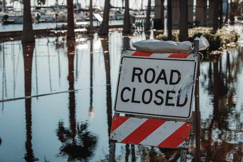
This means the likelihood of more significant impacts due to El Niño are much higher. For decades, NOAA scientists have been studying the impact of El Niño on high tide flooding, which is when water covers roads and lower lying areas due to high tide and higher sea levels. They have noticed an increase in high tide flooding during El Niño years.
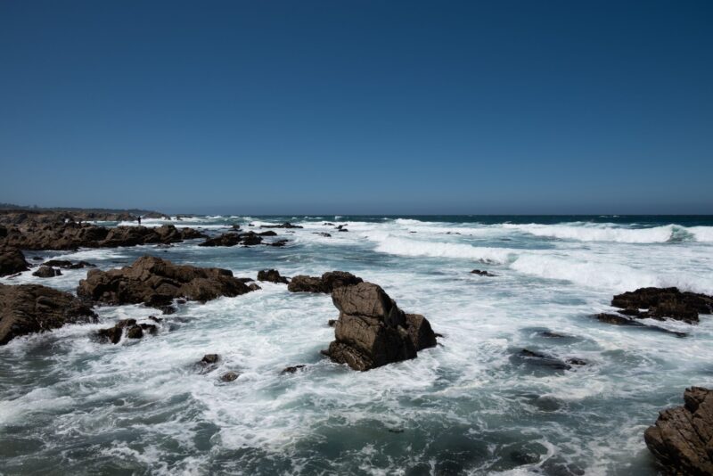
With sea levels already rising over the decades, Kelvin waves could see coastal communities — especially along the western coast of North America — dealing with more flooding through the fall and winter.
Bottom line: As El Niño continues to strengthen, it could cause Kelvin waves to move east and eventually trigger coastal flooding in the North American west.
Read more: 2026 name list for Atlantic hurricanes: Is yours among them?
Like what you read?
Subscribe and receive daily news delivered to your inbox.
More from
Rachel Duensing


Severe weather threat upgraded today for Midwest

Severe weather, tornadoes possible Sunday and Monday