


Thunderstorms half a world away can predict heat waves in California, according to a new study.
The research, by a team of scientists from California and South Korea, suggests that heavy rainfall over the Indian Ocean, Southeast Asia and the eastern Pacific Ocean is a good indicator that temperatures in central California will reach 100 degrees Fahrenheit (38 degrees Celsius) in 4 to 16 days.
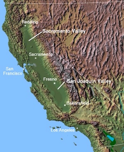
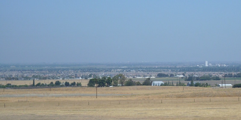
The scientists analyzed June-September heat wave data from from 1979-2010 from weather stations across California’s Central Valley – a 450 mile long (720 km long) oval of land where heat waves are common.
The researchers compared the instances of heat waves to the phases of a large, traveling atmospheric circulation pattern called the Madden-Julian Oscillation, or MJO.
The MJO is the biggest element of intraseasonal (30- to 90-day) variability in the tropical atmosphere. It’s a traveling circulation pattern that manifests itself as heavy rain that migrates across the tropical Indian Ocean and then the Pacific Ocean. Previous studies have shown that the MJO influences winter weather patterns and the researchers wondered if there might be similar links for the summer heat waves.
Yun-Young Lee of the APEC Climate Center in Busan, South Korea, is first author of the study, which was published in Advances in Atmospheric Sciences on April 12, 2019. She said in a statement:
It’s well known that tropical rainfall, such as the MJO, has effects beyond the tropics. So a question comes to mind: Is hot weather in the Central California Valley partly attributable to tropical rainfall?
The researchers found that enhanced rainfall in the tropics preceded each of the heat waves in specific and relatively predictable patterns. They also found that hot weather in the Central Valley is most common after more intense MJO activity in the eastern Pacific Ocean, and next most common after strong MJO activity in the Indian Ocean.
The Central Valley is California’s most productive agricultural region, providing more than half of the fruits, vegetables, and nuts grown in the United States, as well as extensive dairy production. Heat waves can wreak havoc on agricultural production. The dairy industry, for example, had a heat wave-induced economic loss of about $1 billion in 2006. The ability to predict heat waves and understand their causes, say the researchers, could inform protective measures against damage. Richard Grotjahn is a paper co-author and professor in the UC Davis Department of Land, Air and Water Resources. He said:
The more we know about such associations to large-scale weather patterns and remote links, the better we can assess climate model simulations and therefore better assess simulations of future climate scenarios.
Bottom line: A study says that when heavy rain falls over Southeast Asia and the eastern Pacific Ocean, temperatures in California’s Central Valley will reach 100 F in 4 to 16 days.
Like what you read?
Subscribe and receive daily news delivered to your inbox.
More from
Eleanor Imster


