


A satellite image (above) shows a thin swath of land, previously underwater, uplifted by the 7.8 magnitude earthquake that jolted the northeastern coast of New Zealand’s South Island on November 13, 2016. For comparison, see the satellite image below, which shows that same area of coastline a month before the quake.
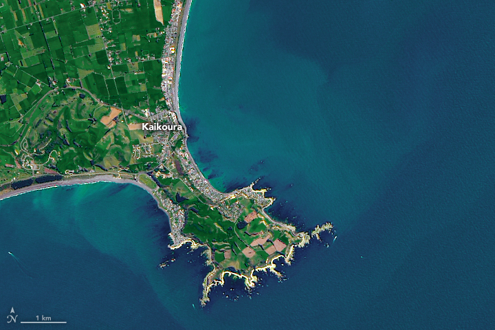
The quake shifted huge quantities of rock and lifted the seabed by 0.5 to 2 meters (2 to 7 feet) along a 20-kilometer (12.4 mile) stretch of the Kaikoura coast. In one area, the uplift was a remarkable 5.5 meters (18 feet).
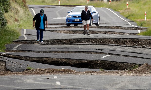
On the ground, scientists have encountered some unusual sights as they surveyed the new land by foot and helicopter. Seaweed littered the newly exposed slabs of rock and coral reef. Crayfish, sea snails, and other marine life were left stranded well above the high tide level.
People living near the Kaikoura coast were struck by the sounds that accompanied the quake as well as the sights. In a GNS Science video (above), geologist Kelvin Berrymansaid:
Locals here described not the earthquake noise but the noise of water running off the top of this uplifted platform. They said that the noise was just horrendous.
The new land along the Kaikoura coast is likely there to stay, according to a blog post from the New Zealand hazards monitoring organization GeoNet:
While beaches raised by earthquakes occasionally sink back down gradually or get pushed down by other earthquakes, the New Zealand coast is full of historical examples of earthquake uplifted land staying put for hundreds to thousands of years.
Enjoying EarthSky? Sign up for our free daily newsletter today!
Bottom line: Before and after satellite images of land newly exposed by the 7.8-magnitude earthquake off the coast of New Zealand’s South Island on November 13. 2016.
Like what you read?
Subscribe and receive daily news delivered to your inbox.
More from
Eleanor Imster


