


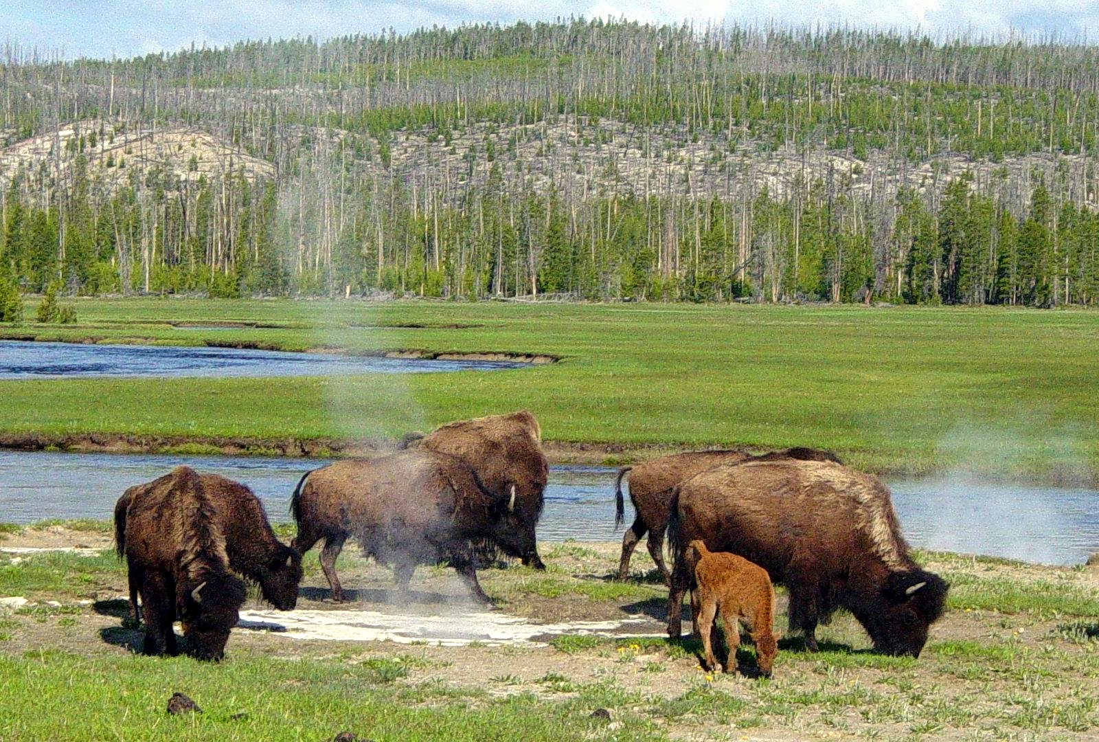
A 4.8-magnitude earthquake lightly shook Yellowstone National Park earlier today (March 30). Eric Klemetti of Wired’s Eruptions blog said on Twitter:
Looks like it occurred north, outside the modern caldera boundary. Remember, the Yellowstone area is riddled with faults.
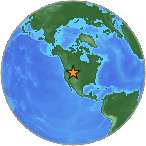
The U.S. Geological Survey gives details of the quake as follows:
Event Time
2014-03-30 12:34:39 UTC
2014-03-30 06:34:39 UTC-06:00 at epicenter
Location
44.778°N 110.683°W
Depth=6.8km (4.2mi)
Nearby Cities
37km (23mi) ENE of West Yellowstone, Montana
105km (65mi) SSE of Bozeman, Montana
138km (86mi) NE of Rexburg, Idaho
178km (111mi) NE of Ammon, Idaho
228km (142mi) SSE of Helena, Montana
Read more about the March 30 earthquake in Yellowstone from USGS
Read more about the March 30 earthquake in Yellowstone from University of Utah
From 2011: Underground plume of Yellowstone supervolcano bigger than thought
The biggest Yellowstone earthquake in recent times occurred on August 17, 1959. It was a 7.3-magnitude quake that caused over 28 fatalities and left $11 million in damage to highways and timber. The slide blocked the flow of the Madison River resulting in the creation of Quake Lake. Effects of the earthquake were also felt in Idaho and Wyoming.
The 1959 quake was the strongest and deadliest earthquake to hit Montana since the 1935-36 Helena earthquakes left 4 people dead.

Bottom line: A 4.8-magnitude earthquake shook Yellowstone National Park on Sunday, March 30, 2014.
Like what you read?
Subscribe and receive daily news delivered to your inbox.
More from
Deborah Byrd


