Sign Up for Our Amazing Newsletter!
A daily update by email. Science news, great photos, sky alerts.

EarthSky Community Photos
Submit your photo here. Comment or upvote on photo pages. Search via photographers' names. More improvements coming! To help, please donate.
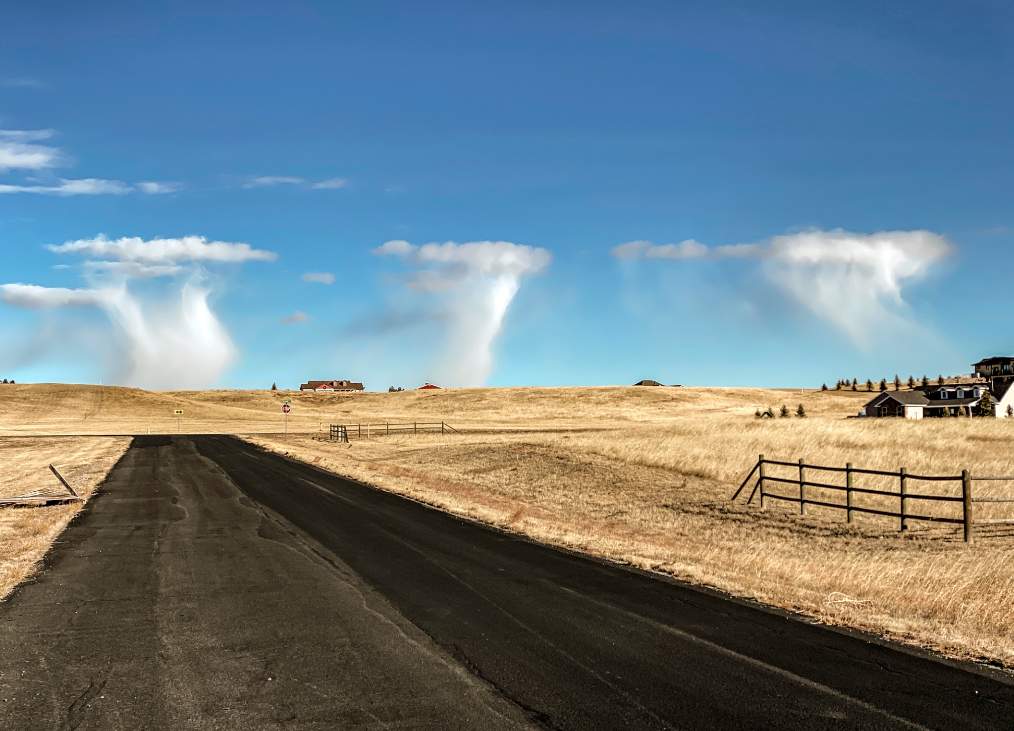
Cheyenne, Wyoming, USA
10:00 am
This event is rather unusual if not rare. The lower levels of the atmosphere are very cold and moist. Lots of virga (ice crystals) are falling out of these thin cloud masses. Had this occurred in summer, severe weather is most likely later in the day. On this day, scattered convective snow shower occurred shortly after this mid-morning capture.
An alternative cloud classification could be: Altocumulus Floccus Clouds With Virga but I believe these clouds were well below 6000 above ground level.
I upload a time lapse of this event: www.flickr.com/photos/79387036@N07/51753641288