


Scientists announced this week (May 11, 2015) that they’ve developed a new tool to help decrease whale mortality due to collisions with shipping and fishing gear.
WhaleWatch – funded by NASA and set to be released this year by the National Oceanic and Atmospheric Administration (NOAA) – will show for each month the most likely locations of blue, humpback, fin, and gray whales along the west coast of the United States and Canada, based on current environmental conditions detected by satellites. It’ll also predict the movements of blue whales for any given day.
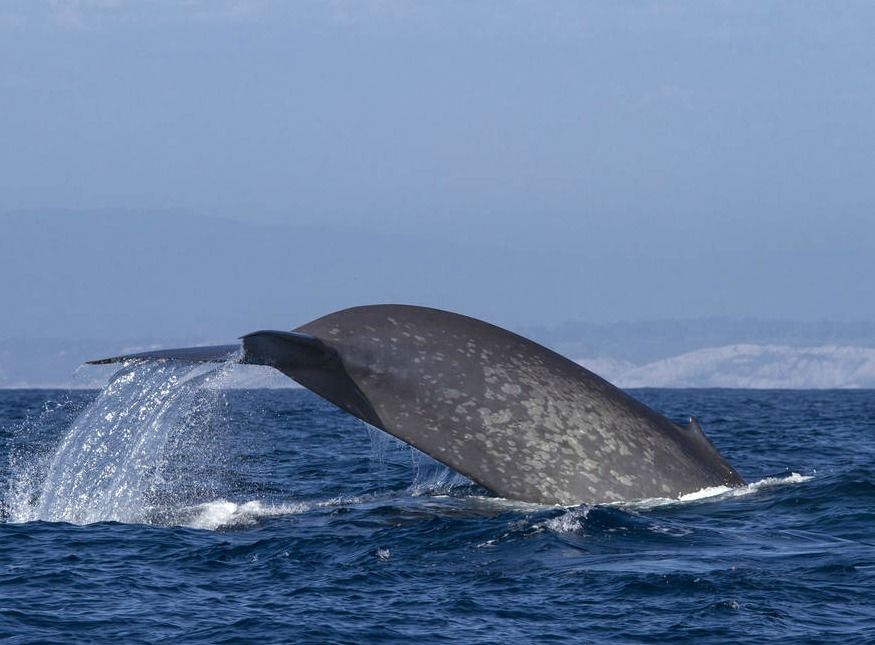
The endangered whales migrate up and down the California coast – along with heavy fishing and shipping traffic to and from the major ports of Los Angeles and San Francisco. Massive vessels navigating through their feeding areas near the ports increase the chances that a whale will be injured or killed by a collision, while becoming entangled in fishing gear can hamper a whale’s ability to feed or swim to the surface to breathe.
Enjoying EarthSky so far? Sign up for our free daily newsletter today!
The new WhaleWatch tool will be used to address conflicts between humans and whales. It was designed using tag data and satellite observations. WhaleWatch will show for each month the most likely locations of whales based on current environmental conditions detected by satellites. In addition, WhaleWatch has a daily product that will predict the movements of blue whales for any given day.
Monica DeAngelis, a marine mammal scientist at NOAA’s National Marine Fisheries Service (NMFS) West Coast Region in Long Beach, California, was part of the project. DeAngelis said:
The real way to reduce the risk of a whale getting hit is to reduce the overlap [of whales and vessels.
When we sit down at the table to talk to people, including the fishing industry, shipping industry, U.S. Coast Guard, and anyone else interested in activities on the water, the first question is where are the whales?
In the past, NOAA has relied on boat surveys conducted from July to November during a portion of the whales’ migration along the coast, but these surveys are conducted every five or so years and are just a snapshot, said WhaleWatch project leader Helen Bailey. Researchers don’t have the up-to-date daily, monthly, or even seasonal data on whale movements that would really inform decision-making.
That’s where WhaleWatch comes in. To develop the tool, the researchers started with 15 years of whale tag data and matched it in place and time with ocean depth measurements and satellite measurements of sea surface temperate, chlorophyll concentration and sea surface height. They then analyzed the two types of data – and found patterns between environmental cues and whale movements.
Putting all of the data together, the research team developed the WhaleWatch computer program that takes the monthly environmental data and calculates the likelihood of where whales will be present in the California Current, and then plots that data on a map.
Bottom line: Scientists announced this week (May 11, 2015) that they’ve developed a new tool – called WhaleWatch – to help decrease whale mortality due to collisions with shipping and fishing gear.
Like what you read?
Subscribe and receive daily news delivered to your inbox.
More from
Editors of EarthSky


