


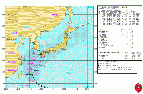
UPDATE JULY 8, 2014 11 UTC (6 a.m. CDT). Here’s an update on Typhoon Neoguri.
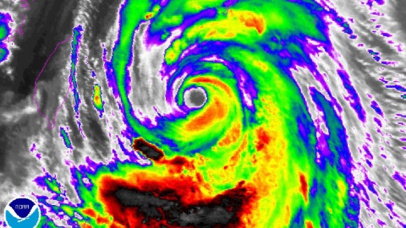
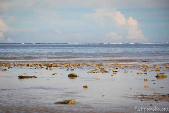
Powerful Typhoon Neoguri pounded Japan’s Okinawa islands on Tuesday local time (July 8, 2014), bringing high winds, monster waves and storm surges. Although it lost its super typhoon status yesterday, Neoguri still packed sustained winds of 175 kilometers (108 miles) per hour with some gusts up to 250 kph (154 mph), according to the Japan Meteorological Agency.
The good news is that Okinawa is built to handle typhoons. The islands typically experience more than 1 per year.
Neoguri is still expected to hit Kyushu, Japan, but its track has slowed slightly. Landfall is ultimately expected to occur Wednesday evening according to U.S. clocks, early Thursday a.m. locally in Japan. When it reaches Kyushu, it will likely be a minimal typhoon so winds will not be the most significant impact.
James Reynolds in Okinawa has been providing updates. Follow him on Twitter @EarthUncutTV
Video of giant waves pounding a beach in Okinawa
Footage of Neoguri lashing Miyakojima, Okinawa
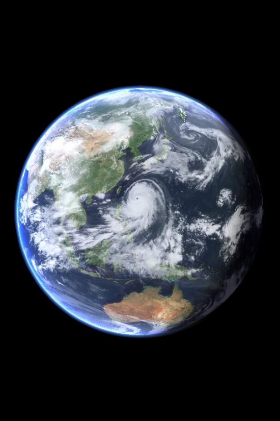
Super Typhoon Neoguri was earlier expected to be the strongest typhoon ever to strike the country of Japan during the month of July. It had intensified into a super typhoon early Monday morning local time (Sunday afternoon EDT), with maximum sustained winds of 155 miles per hour (250 km/hr), making it the equivalent of a strong Category Four hurricane. Neoguri was expected to become slightly stronger over the next 24 hours, as it passed through an area of very warm water and low wind shear.
Instead, it became weaker. Later, it began strengthening again, but it is not likely to regain super typhoon status.
After it makes landfall, Neoguri is expected to move rapidly to the northeast, on a track that would take it across the main island of Honshu. The large Japanese cities of Hiroshima, Kyoto, Osaka, Nagano, Tokyo and Fukushima are expected to get heavy rains. The worst winds, highest waves and the heaviest rains, however, are expected to be confined to the Kyushu and Shikoku islands.
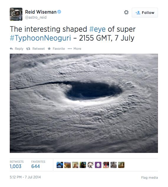
Astronaut Reid Wiseman has been tweeting about Neoguri from space. Follow him on Twitter.

Bottom line: Typhoon Neoguri is no longer a super typhoon. It was earlier expected to be the strongest typhoon to strike the country of Japan during the month of July, but it has now weakened. It’s still strong, but not as strong as before. It’s buffeting Japan’s Okinawa Islands tonight and Tuesday and is expected to make landfall in southwest Japan, on the island of Kyushu near the city of Nagasaki, on July 9 local time.
Like what you read?
Subscribe and receive daily news delivered to your inbox.
More from
Matt Daniel


