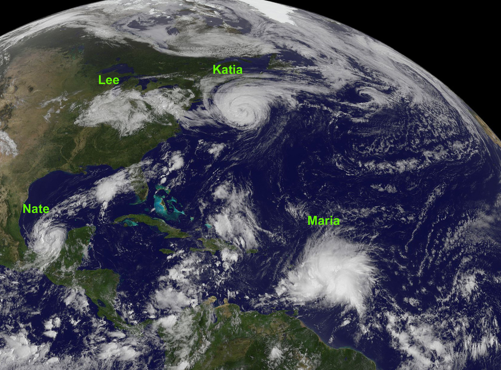
We couldn’t resist this GOES satellite image of the tropical Atlantic ocean basin, where four tropical cyclones or remnants were still active as of yesterday. NOAA’s GOES-13 satellite captured Katia, Lee, Maria and Nate on September 9, 2011, at 10:45 a.m. EDT (14:45 UTC).
As you can see, we’re entering the peak of the 2011 Atlantic hurricane season.

Hurricane Katia was east of the U.S. coast when this image was obtained, and it’s expected to move towards the United Kingdom this weekend. Tropical Storm Lee’s remnants should finally fizzle over the northeastern U.S. Tropical Storm Maria will affect the Lesser Antilles this weekend. Tropical Storm Nate is expected to become a hurricane and make landfall in Mexico.
Credit: NOAA/NASA GOES Project


