


The U.S. Geological Survey reported a strong, 6.6-magnitude earthquake Wednesday night (April 23, 2014) in the Pacific Ocean off the northwest corner of British Columbia’s Vancouver Island. The quake hit at 8:10 p.m. local time. There were no immediate reports of damage or injuries. No tsunami warning was issued.
The quake was followed by aftershocks of magnitude 5.0 and 4.2, the USGS said.
Details of the quake, from USGS, follow.
Event Time
2014-04-24 03:10:12 UTC
2014-04-23 19:10:12 UTC-08:00 at epicenter
Location
49.846°N 127.444°W
Depth=11.4km (7.1mi)
Nearby Cities
94km (58mi) S of Port Hardy, Canada
159km (99mi) W of Campbell River, Canada
177km (110mi) W of Courtenay, Canada
202km (126mi) WNW of Port Alberni, Canada
336km (209mi) WNW of Victoria, Canada
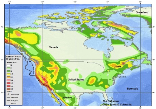
This part of Canada is located along what geologists call the Ring of Fire, one of the most geologically active areas on Earth and a site for frequent earthquakes and powerful volcanic eruptions.
Bottom line: An earthquake of magnitude 6.6 struck in the Pacific off Vancouver Island on the night of April 24, 2014.
Like what you read?
Subscribe and receive daily news delivered to your inbox.
More from
Deborah Byrd


